Application 03 · Civil airspace
Civil Low-Altitude Radar Monitoring
LRD_AMP radar detects and tracks drones, birds and balloons for civil low-altitude monitoring. Selection depends on the target types, height layers and area you need to cover. Quoted detection ranges use DJI Phantom 4 as the reference target, not birds or balloons.
Discuss this application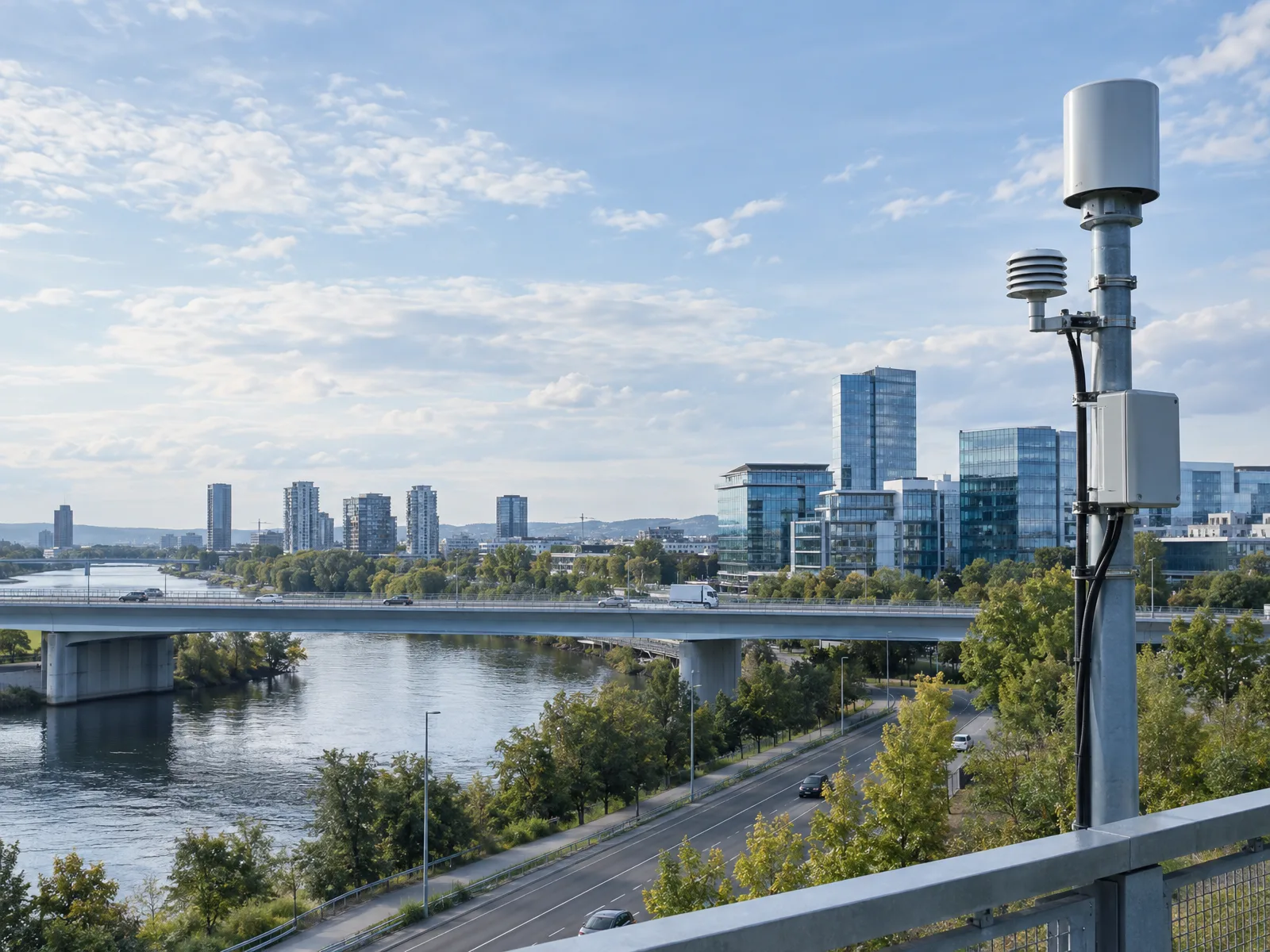
AI-generated application scene. Not an actual RadarSpan project or detection test.
Reported Target Data
- Horizontal measurement
- Range & azimuth
- Flight measurement
- Height & speed
- Position output
- Longitude & latitude
LRD_AMP Low-Altitude Surveillance
Compare three configuration groups: R2000/R3000, the larger R5000/R8000/R10000 series, and the separate four-face configuration. Check scan method, elevation coverage, update rate and power as well as detection range.
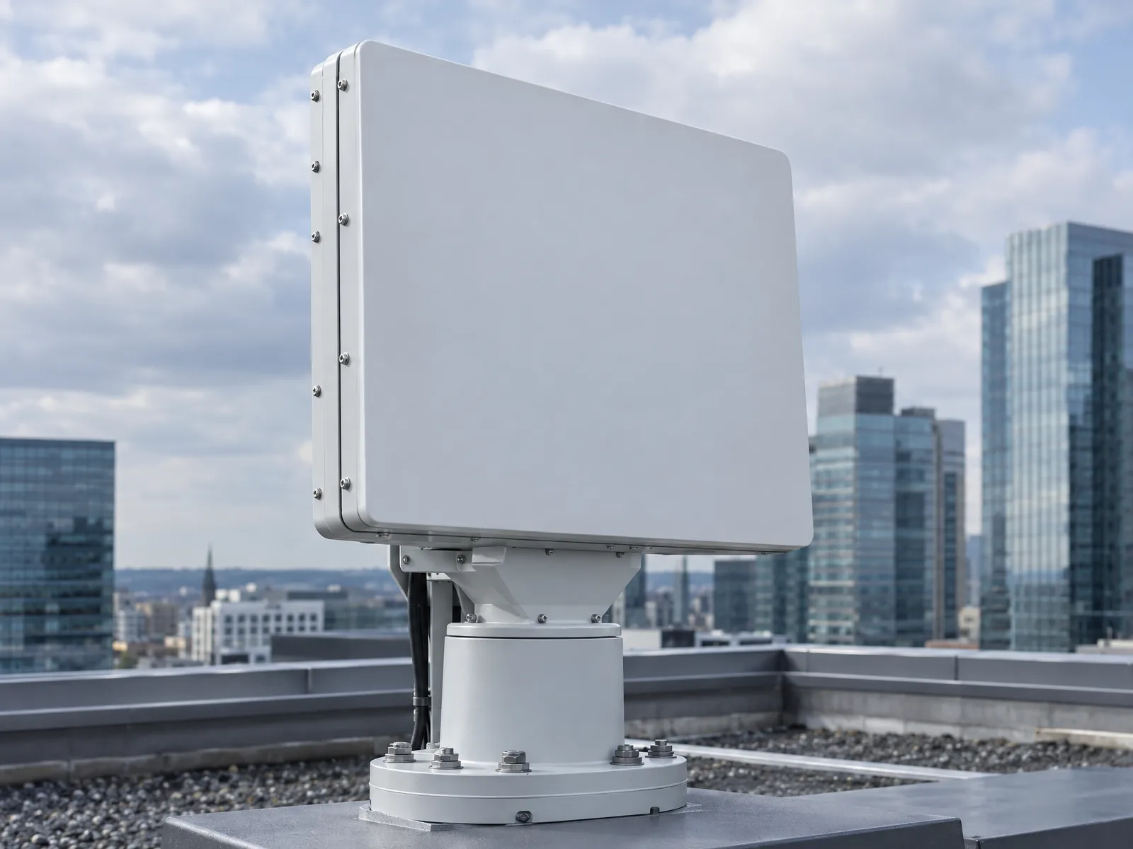
R2000 / R3000
≥2 km / ≥3 km
DJI Phantom 4 reference target only, not birds or balloons; ≥30° elevation coverage; 3 s data interval. Fixed, vehicle-mounted or portable configurations are listed.
Larger R-series models
R5000 · R8000 · R10000
Before comparing these R-series distances, note that the reference target is DJI Phantom 4, not birds or balloons. Catalogue ranges ≥5 / ≥8 / ≥10 km; azimuth mechanical scan with elevation phased-array scan and 360° azimuth coverage.
Full-area configuration
90° per face · four faces
The separate catalogue group lists 90° × 4 azimuth and ≥60° elevation coverage, with TWS 3 s / TAS 1 s data rates.
The quoted ranges use DJI Phantom 4 as the reference target. They do not establish detection ranges for birds or balloons, or guarantee site performance. Monitoring does not imply target identity verification or mitigation.
Explore civil radar productsCoverage & Integration
Which targets and height layers matter?
Describe the civil monitoring purpose, expected target types and sizes, height layers and area to cover. Specify whether the requirement is sector coverage or coverage around a site.
Which configuration should be compared?
Compare scan method, update rate, elevation coverage, mounting and power for the intended configuration. LRD_AMP_R10000 appears in both the larger R-series and the separate four-face group; their parameters are not interchangeable. Confirm which configuration is quoted before procurement.
What needs technical or regulatory review?
Confirm data interfaces and intended monitoring-system connections using the applicable documentation. Frequency use, import and operating requirements must be assessed for the destination market. This offering concerns civil detection and tracking, not jamming, interception or weapons.
06 — Contact
Send an Inquiry
Not sure which model you need? Tell us what you want to monitor and where.
Already have a model in mind? Share the model and quantity. You can email drawings, site plans or specifications if you have them; they are not needed to start a conversation.
Email our sales team
sales@radarspan.com