Available categories & catalogue specifications
Civil Radar Products
Compare airport bird radar, LRD_GPF ground surveillance and LRD_AMP low-altitude radar for civil monitoring requirements.
Specifications below are transcribed from the supplied manufacturer's catalogue. Detection ranges apply only to the stated reference target and conditions; they are not site-performance guarantees. Confirm the model, configuration, interfaces and applicable documentation before procurement.
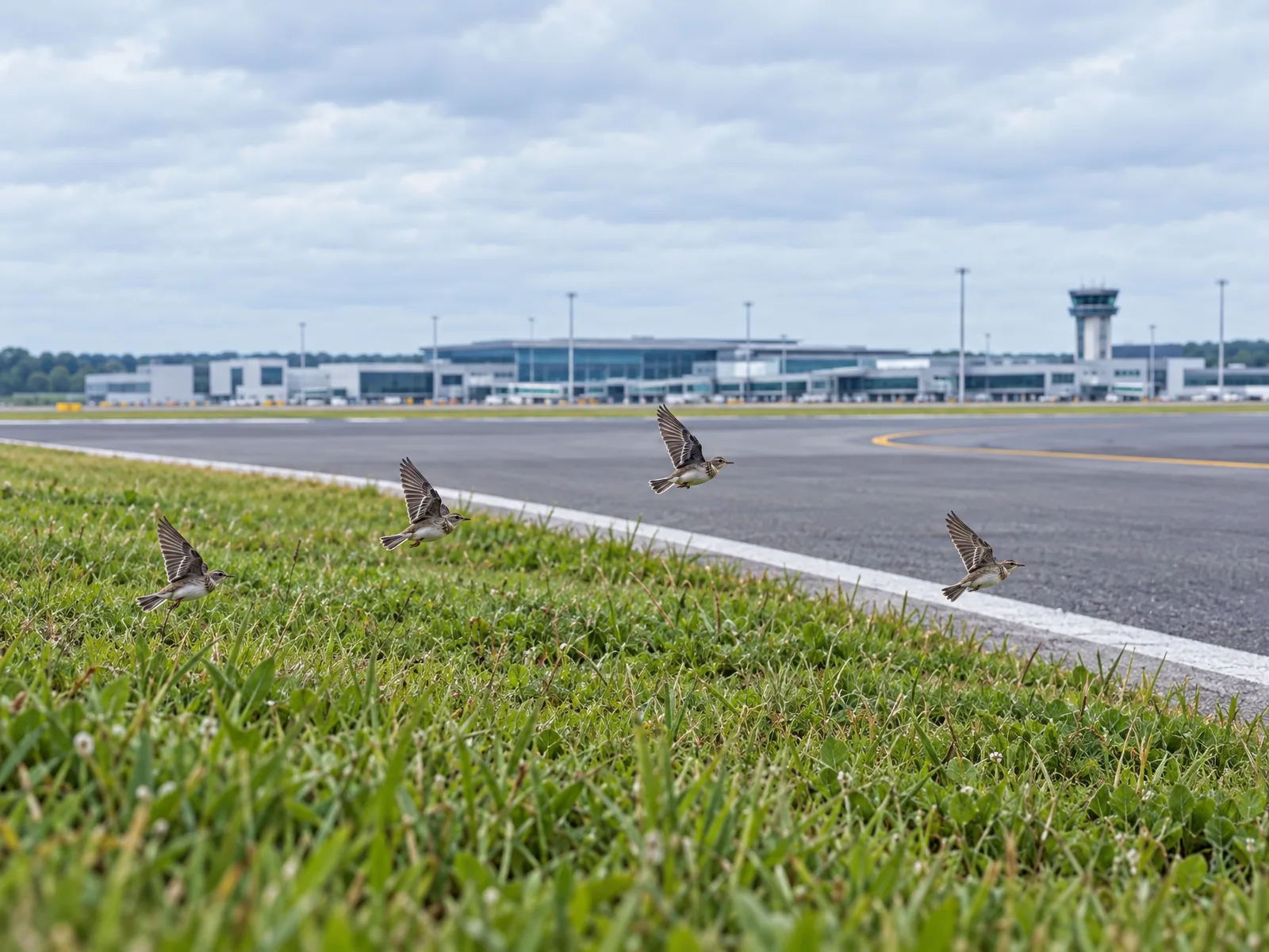
Airport Bird Radar
Available for civil airport bird monitoring around runways, taxiways and surrounding areas.
- Monitoring purpose
- Detect and track bird activity around civil airport operating areas.
- Areas of concern
- Runways, taxiways and surrounding areas relevant to your airport.
- Selection starting point
- Tell us where bird activity needs monitoring and how the information will be used.
Explore the airport application page for monitoring considerations and questions to discuss.
Airport application requirementsFind Your Product Family
LRD_GPF Ground Surveillance
Ku-band radar for detecting and tracking people and vehicles. Compare the stated radar cross-section (RCS) conditions with your targets. Catalogue distances do not establish coverage across terrain, buildings or other obstructions.
Industrial perimeter application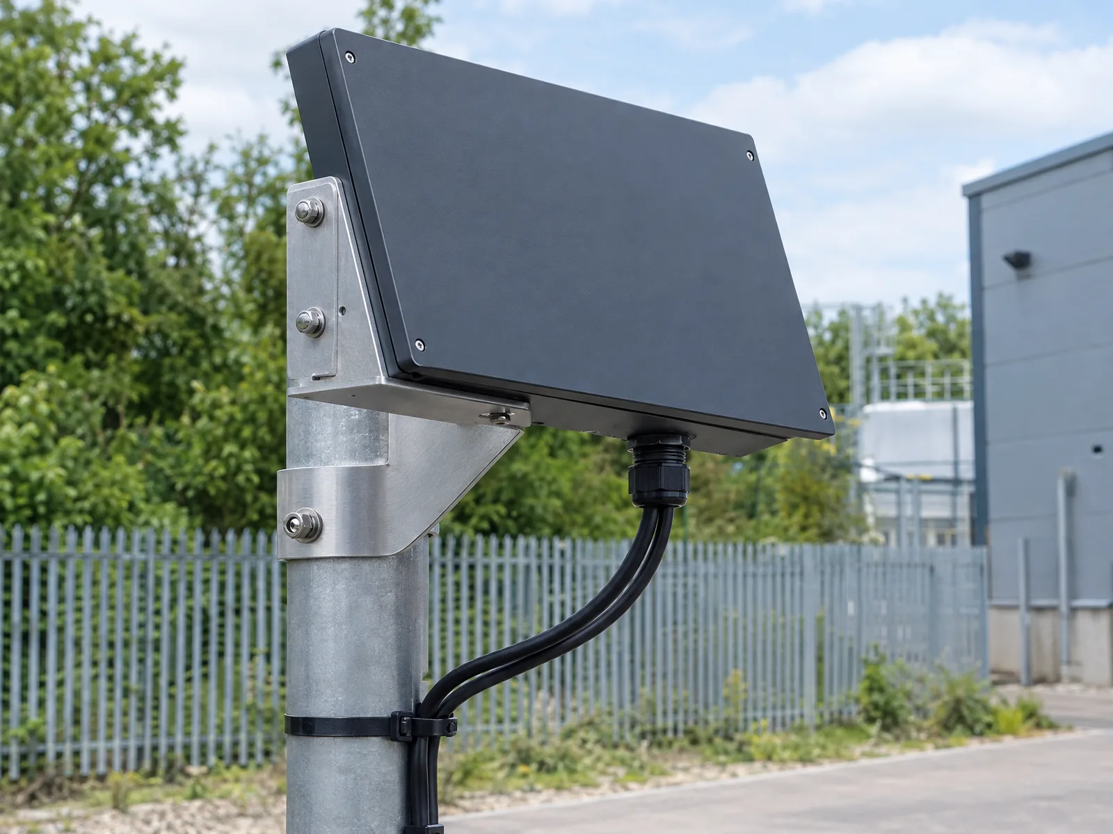
Scroll horizontally to compare all model columns.
| Parameter / condition | LRD_GPF_R5000 | LRD_GPF_R10000 |
|---|---|---|
| Radar band | Ku | Ku |
| Radar architecture | Fully coherent pulse Doppler | Fully coherent pulse Doppler |
| Scan method | Mechanical azimuth scan + fixed elevation beam | Mechanical azimuth scan + fixed elevation beam |
| Person detection · RCS 0.5 m² | ≥5 km | ≥10 km |
| Vehicle detection · RCS 10 m² | ≥10 km | ≥20 km |
| Azimuth coverage | 0°–360° | 0°–360° |
| Elevation beam | 7° (fixed) | 7° (fixed) |
| Range accuracy | ≤10 m | ≤10 m |
| Azimuth accuracy | ≤0.4° | ≤0.2° |
| Data interval | 3 s | 3 s |
| Weight | ≤12 kg | ≤15 kg |
| Dimensions | ≤500 × 320 × 100 mm | ≤690 × 320 × 100 mm |
| Power consumption | ≤100 W | ≤150 W |
| Deployment | Fixed / portable | Fixed / portable |
Catalogue target conditions: person RCS 0.5 m²; vehicle RCS 10 m². Dimensions are listed in the source order. Weight is the catalogue radar weight; no installation or site-coverage guarantee is implied.
Match Ranges to Target Conditions
Ground-radar ranges use person or vehicle radar cross-section conditions; low-altitude ranges use DJI Phantom 4 as the reference target. These figures do not describe equivalent targets or guarantee site coverage.
Review low-altitude configurations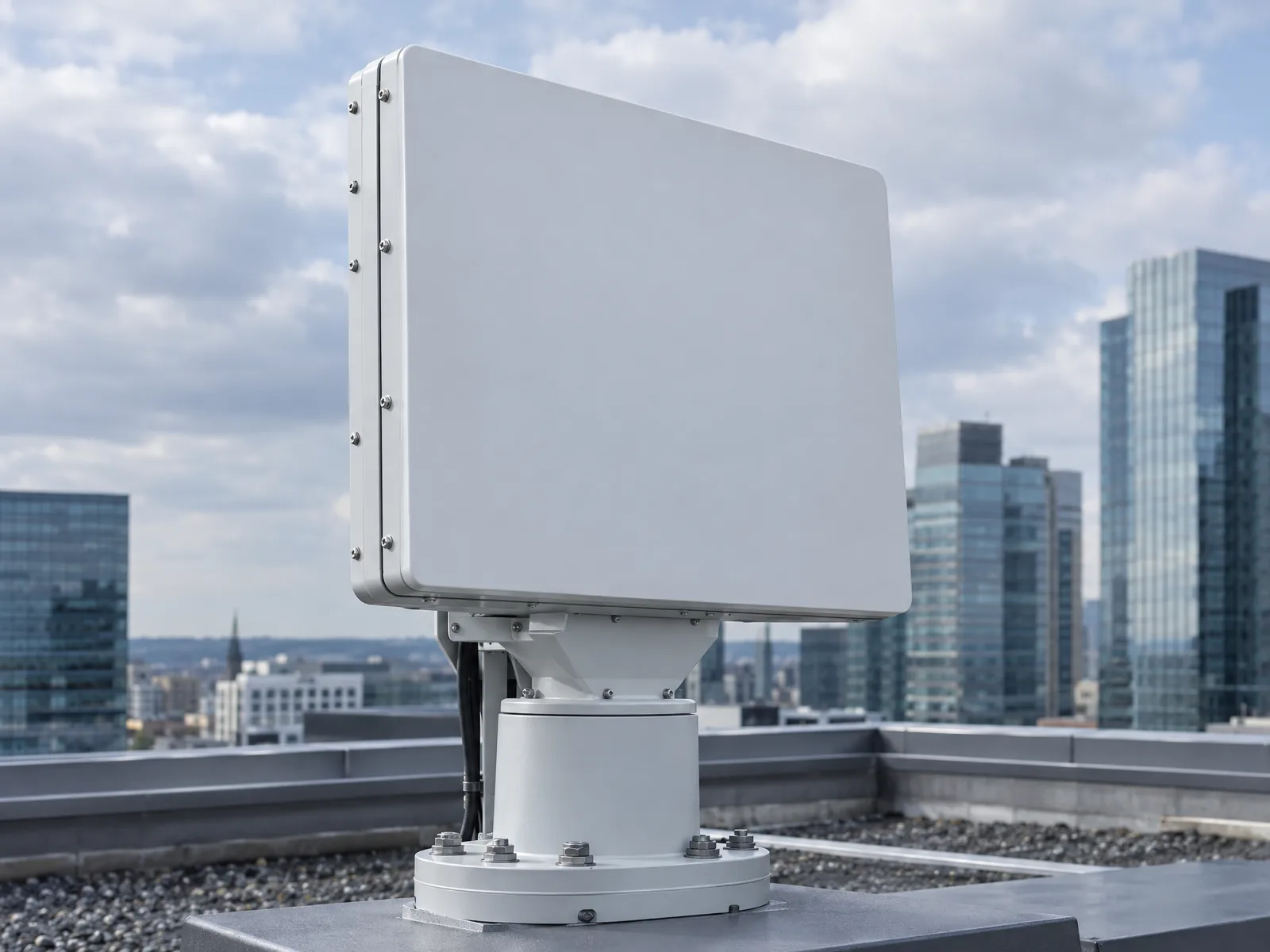
LRD_AMP Low-Altitude Surveillance
Radar for civil detection and tracking of drones, birds and balloons. Compare three separate groups: R2000/R3000, R5000/R8000/R10000, and the four-face B5000/B8000/R10000 configuration.
The quoted ranges use DJI Phantom 4 as the reference target. They do not establish detection ranges for birds or balloons, or guarantee site performance. LRD_AMP_R10000 appears in both the larger R-series and the separate four-face group. Their scan, coverage, weight and power specifications are not interchangeable; identify the configuration before comparing or ordering.
Civil low-altitude applicationR2000 / R3000 · compact R-series
Scroll horizontally to compare all model columns.
| Parameter / condition | LRD_AMP_R2000 | LRD_AMP_R3000 |
|---|---|---|
| Radar band | Ku | Ku |
| Radar architecture | Fully coherent pulse Doppler | Fully coherent pulse Doppler |
| Scan method | Mechanical azimuth + elevation frequency scan | Mechanical azimuth + elevation frequency scan |
| Detection · DJI Phantom 4 | ≥2 km | ≥3 km |
| Elevation coverage | ≥30° | ≥30° |
| Range accuracy | ≤5 m | ≤5 m |
| Azimuth accuracy | ≤0.4° | ≤0.4° |
| Elevation accuracy | ≤0.4° | ≤0.4° |
| Data interval | 3 s | 3 s |
| Target capacity | ≥500 tracks | ≥500 tracks |
| Weight · radar + pan-tilt + tripod | ≤30 kg | ≤30 kg |
| Dimensions | ≤650 × 400 × 100 mm | ≤650 × 400 × 100 mm |
| Power · includes pan-tilt | ≤150 W | ≤150 W |
| Deployment | Fixed / vehicle-mounted / portable | Fixed / vehicle-mounted / portable |
DJI Phantom 4 reference target only; no bird or balloon detection distance is established. Weight includes radar, pan-tilt unit and tripod. Power includes the pan-tilt unit. Azimuth coverage is not stated in the catalogue for this group.
R5000 / R8000 / R10000 · larger R-series
Scroll horizontally to compare all model columns.
| Parameter / condition | LRD_AMP_R5000 | LRD_AMP_R8000 | LRD_AMP_R10000 |
|---|---|---|---|
| Radar band | Ku | Ku | Ku |
| Radar architecture | Fully coherent pulse Doppler | Fully coherent pulse Doppler | Fully coherent pulse Doppler |
| Scan method | Mechanical azimuth + elevation phased-array scan | Mechanical azimuth + elevation phased-array scan | Mechanical azimuth + elevation phased-array scan |
| Detection · DJI Phantom 4 | ≥5 km | ≥8 km | ≥10 km |
| Azimuth coverage | 0°–360° | 0°–360° | 0°–360° |
| Elevation coverage | ≥30° | ≥30° | ≥30° |
| Range accuracy | ≤10 m | ≤10 m | ≤10 m |
| Azimuth accuracy | ≤0.4° | ≤0.3° | ≤0.3° |
| Elevation accuracy | ≤0.4° | ≤0.3° | ≤0.3° |
| Data interval | 3 s | 3 s | 3 s |
| Target capacity | ≥500 tracks | ≥500 tracks | ≥500 tracks |
| Weight · radar + pan-tilt + tripod | ≤35 kg | ≤45 kg | ≤45 kg |
| Dimensions | ≤650 × 400 × 100 mm | ≤650 × 400 × 100 mm | ≤650 × 400 × 120 mm |
| Power · includes pan-tilt | ≤300 W | ≤1000 W | ≤1000 W |
| Deployment | Fixed / vehicle-mounted / portable | Fixed / vehicle-mounted | Fixed / vehicle-mounted |
DJI Phantom 4 reference target only; no bird or balloon detection distance is established. Weight includes radar, pan-tilt unit and tripod; power includes the pan-tilt unit. The R10000 values in this table must not be combined with the four-face R10000 configuration.
B5000 / B8000 / R10000 · full-area configuration
Scroll horizontally to compare all model columns.
| Parameter / condition | LRD_AMP_B5000 | LRD_AMP_B8000 | LRD_AMP_R10000 |
|---|---|---|---|
| Radar band | Ku | Ku | Ku |
| Radar architecture | Fully coherent pulse Doppler | Fully coherent pulse Doppler | Fully coherent pulse Doppler |
| Scan method | Azimuth + elevation phased-array scan | Mechanical azimuth + elevation phased-array scan | Mechanical azimuth + elevation phased-array scan |
| Detection · DJI Phantom 4 | ≥5 km | ≥8 km | ≥10 km |
| Azimuth coverage | 90° × 4 | 90° × 4 | 90° × 4 |
| Elevation coverage | ≥60° | ≥60° | ≥60° |
| Range accuracy | ≤5 m | ≤5 m | ≤5 m |
| Azimuth accuracy | ≤0.3° | ≤0.3° | ≤0.3° |
| Elevation accuracy | ≤0.3° | ≤0.3° | ≤0.3° |
| Data rates | TWS 3 s / TAS 1 s | TWS 3 s / TAS 1 s | TWS 3 s / TAS 1 s |
| Target capacity | ≥500 tracks | ≥500 tracks | ≥500 tracks |
| Weight · per face | ≤35 kg | ≤35 kg | ≤55 kg |
| Dimensions · per face | ≤600 × 600 × 220 mm | ≤500 × 500 × 200 mm | ≤500 × 500 × 200 mm |
| Power · per face | ≤900 W | ≤900 W | ≤900 W |
| Deployment | Fixed / vehicle-mounted / portable | Fixed / vehicle-mounted / portable | Fixed / vehicle-mounted / portable |
DJI Phantom 4 reference target only; no bird or balloon detection distance is established. Coverage is 90° per face, with four faces. Weight, dimensions and power are per face. This R10000 configuration is separate from the larger R-series R10000; confirm which configuration is required.
Catalogue Equipment Illustrations
AI-prepared from catalogue images. These equipment examples are not verified model or configuration photographs; confirm the quoted equipment's appearance before ordering.
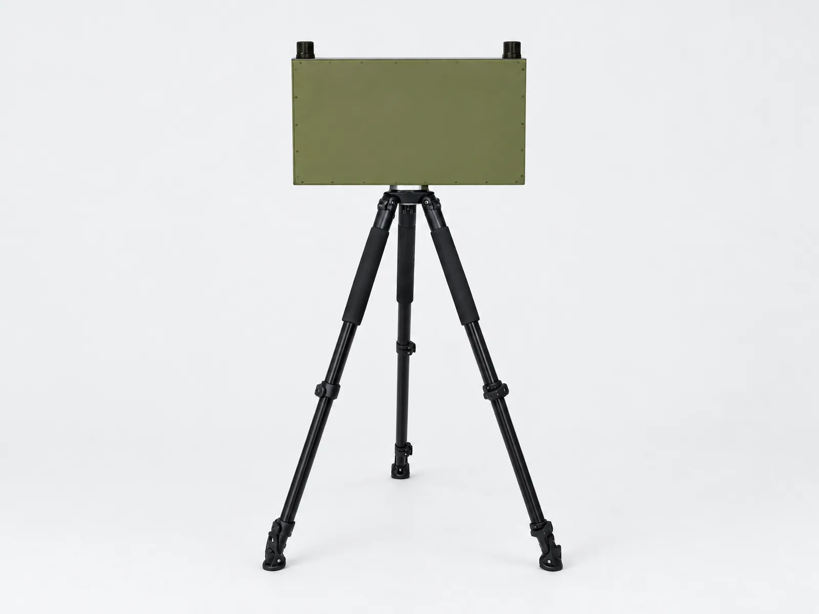
Catalogue page 5 · Equipment example
AI-prepared from a catalogue image. Compact rectangular housing on a tripod; no family, model or configuration assigned.
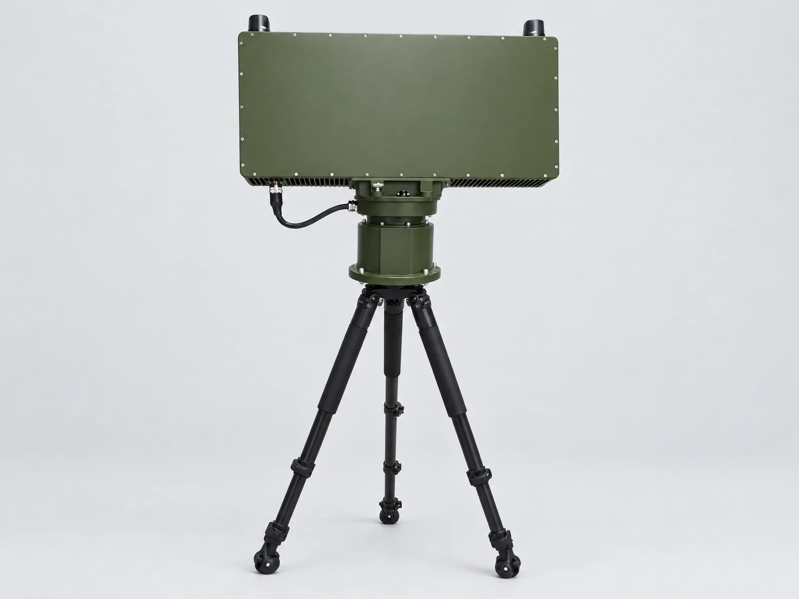
Catalogue page 7 · Equipment example
AI-prepared from a catalogue image. Panel with a visible cylindrical mounting assembly; no family, model or configuration assigned.
06 — Contact
Send an Inquiry
Not sure which model you need? Tell us what you want to monitor and where.
Already have a model in mind? Share the model and quantity. You can email drawings, site plans or specifications if you have them; they are not needed to start a conversation.
Email our sales team
sales@radarspan.com